Modernization achievements in Inner Mongolia autonomous region
Xinhua |
Updated: 2017-08-09 13:03


Share


Share - WeChat


|
|
| Photo taken on July 1, 2017 shows cows in Hulun Buir grassland, in North China's Inner Mongolia autonomous region. [Photo/Xinhua] |

A positioning system, jointly developed by Inner Mongolia University of Science and Technology and the animal husbandry bureau of Hangjin Banner, Ordos was officially put into use in Inner Mongolia in 2016. By fitting animals with GPS collars, their locations can be viewed on computers or phones, making herding much easier for the herdsmen.
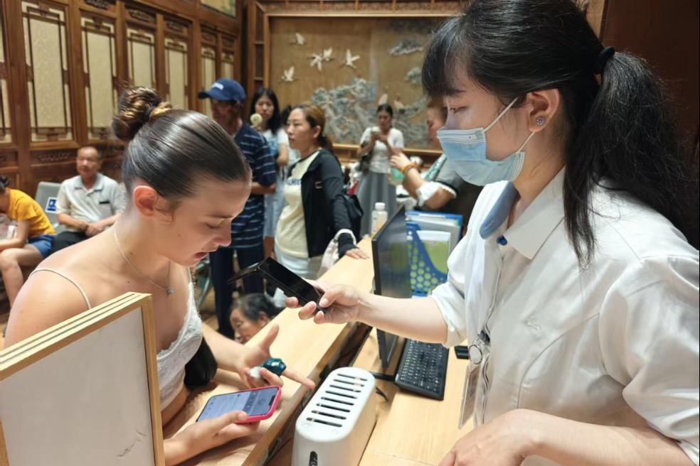

- Beijing's Summer Palace rolls out multi-language translation machine
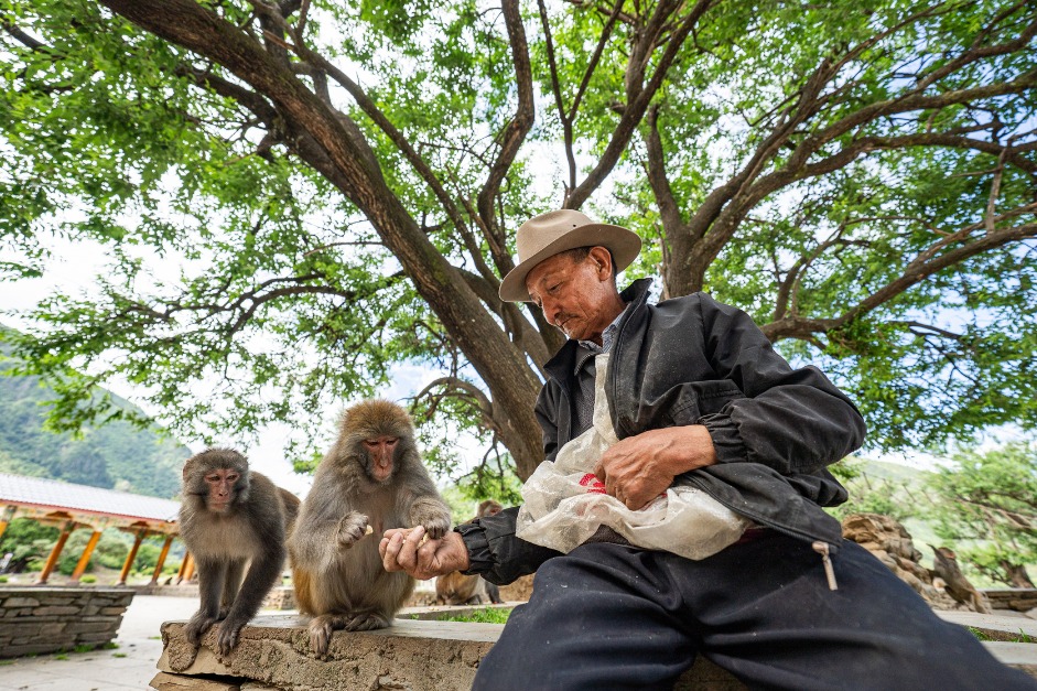
- Wildlife rescuer takes care of vulnerable animals like a parent
- Zhang Youxia meets with chief of Pakistani army
- Model UN conference gathers global students in Wuxi
- Chikungunya fever cases reported in Guangzhou
- Qingdao to host 10th China International Copyright Expo